Drones are becoming increasingly popular in the surveying industry, offering a unique set of advantages when it comes to accurate measurements of land and buildings. If you’re interested in entering this exciting new field, there are certain steps that you will need to take to become a qualified drone surveyor.
In this article, we’ll outline the steps and provide a brief overview of the role of a drone surveyor.
The 10 Steps For Becoming A Drone Surveyor:
Acquire Knowledge of The Drone Industry:
Before entering into the drone surveyor business, it is important to understand the regulations and laws governing drone flights. Additionally, become familiar with available drones and their potential uses for surveying.
Obtain A Pilot’s License:
Pilots are required to pass several exams to obtain an FAA approved pilot’s license before they can use drones commercially. The FAA also requires that all pilots of drones weighing more than 55 pounds must have a license. It is also a good idea to get trained on the specific model of drone you plan to use.
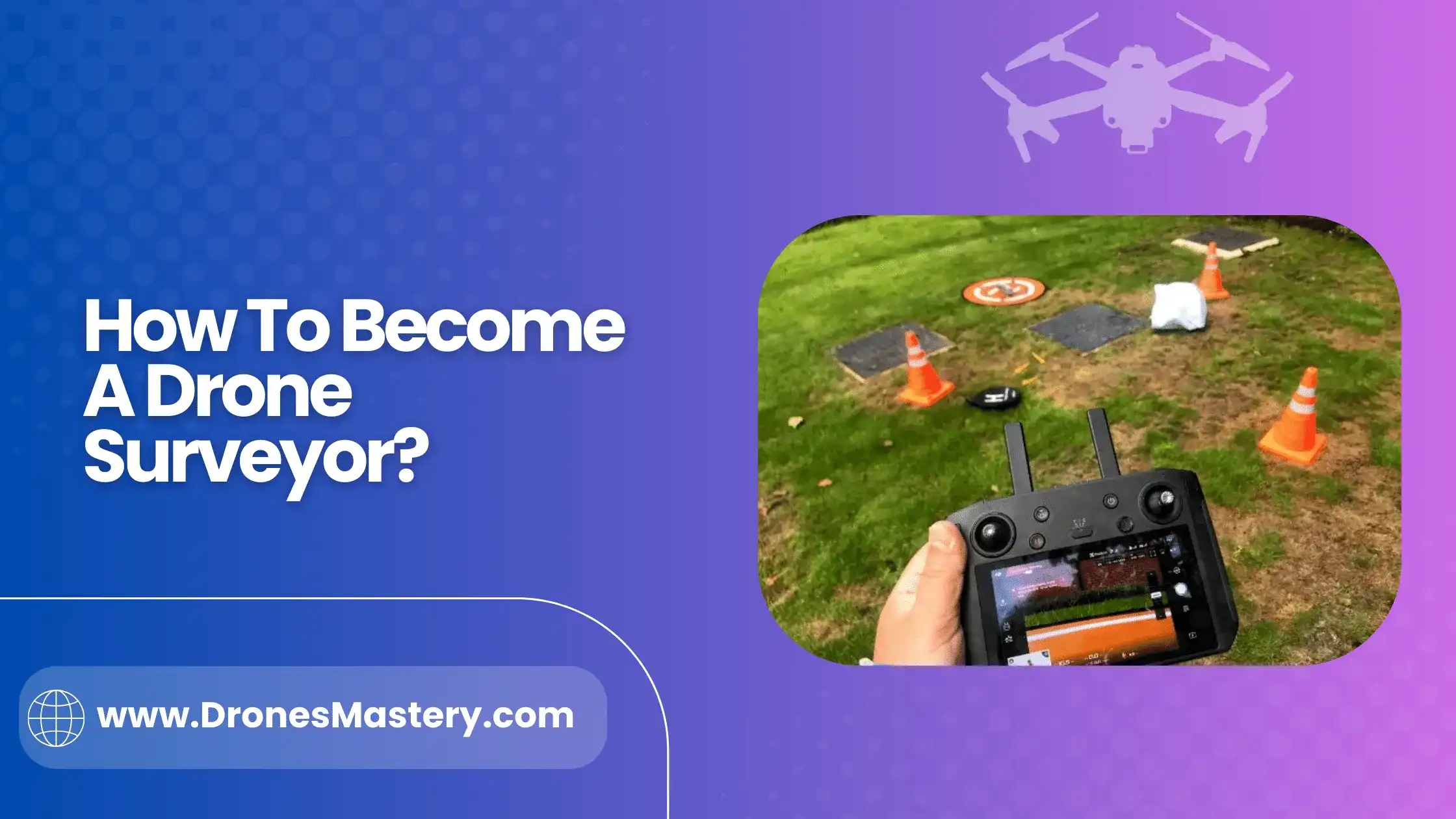
Learn The Specifics of Surveying:
Drone surveyors need to understand what kinds of measurements are needed and how to use the proper technology and equipment accordingly. Surveyors should also become familiar with the necessary mapping software used for this purpose.
Gain Experience:
Before starting a business as a surveyor, it is important to gain hands on experience with the equipment and software. Working for another company or under the guidance of an experienced mentor can help build confidence in one’s skill set.
Obtain Insurance Coverage:
All pilots must carry liability insurance to protect against any accident that may occur while flying a drone. The coverage should be sufficient to cover any potential damages. It is important to understand the terms of the coverage.
Become Familiar With Local Regulations And Codes:
Drone surveyors must stay up to date on all local and state laws regarding the operation of drones in their area. It is important to be aware of any restrictions or requirements that may apply.
Market Yourself As A Drone Surveyor:
Establishing an online presence through social media, website creation, or blogging can help spread awareness about your services and expertise as a drone surveyor.
Prepare To Network:
Building relationships with clients and potential customers is essential for any successful business, including a drone surveying business. Attend local events and join professional organizations to help your business gain recognition in the community.
Practice Responsible Flight:
Drone surveyors should always practice safety when flying drones, ensuring that they are aware of their surroundings and adhere to the laws regulating drone use. It is also important to use the most up-to-date technology and equipment for surveying.
Invest In Quality Hardware:
Investing in a quality drone, camera and accessories is essential when starting out as a surveyor. Quality hardware will ensure reliable data collection and accuracy. The cost of the hardware will vary depending on your specific needs.
For example, a multi-rotor drone may be more expensive than a fixed wing drone, but it can provide greater flexibility for surveying. So, it is important to consider your own individual needs when making this decision.
The Role Of A Drone Surveyor:
The role of a drone surveyor is to use drones to collect data, which can then be used for various applications such as mapping and reconnaissance. A surveyor will typically utilize specialized equipment like cameras, laser scanners, or other devices to capture aerial photographs or videos of an area. This data is then analyzed to create accurate maps and visualizations of the collected information. Surveyors can use the data to monitor changes in an environment, make precise measurements, or identify potential hazards.
The successful operation of a drone surveying business requires extensive knowledge and expertise in flight operations, airspace regulations, and data interpretation. To be successful, surveyors must possess strong technical skills and have a deep understanding of the industry’s regulations and standards.
Additionally, surveyors must also have the ability to effectively communicate with their clients, understand their needs, and deliver accurate results promptly.
The Benefits of Drone Surveying:
Increased Efficiency:
Drone surveyors can capture data much faster than traditional surveying methods. This can significantly speed up the process of completing projects, resulting in increased productivity and cost savings.
Improved Accuracy:
Drones provide highly detailed aerial imagery that is more accurate than other surveying methods. By using sophisticated software and hardware, surveyors can generate 3D models and detailed maps with the highest degree of accuracy.
Safer Survey:
By using drones, surveyors can survey hazardous sites without putting personnel at risk. This eliminates the need to send people into potentially dangerous situations and reduces the cost of insurance and liability.
Reduced Environmental Impact:
Drone surveying is a much more environmentally friendly method of data acquisition. Drones have a much lower carbon footprint than traditional surveying methods and can be used to survey sensitive ecosystems with minimal disruption.
Conclusion:
Becoming a drone surveyor can be an incredibly rewarding and exciting career, but it takes time,and resources to make it happen. A combination of attending one of the many trainings available, reading the literature on safety standards and regulations, and practicing your skills in the right environment is essential.
With hard work and dedication you can become certified as a drone surveyor or even start your own business. The field is growing rapidly now is the perfect time for aspiring pilots to join for a career that will truly take off!